
Customer Stories
Helping the International Fund for Animal Welfare protect animals in crisis
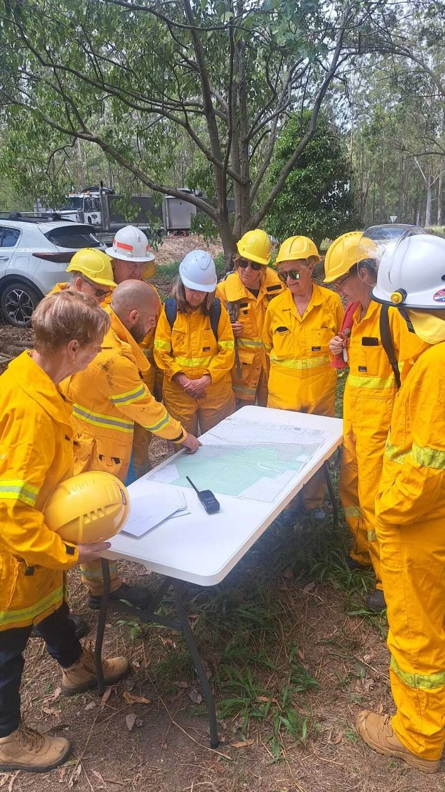
IFAW planning and learning how to use FireMapper. Credits: Scott Castle, IFAW The International Fund for Animal Welfare (IFAW) is one of the largest animal welfare and conservation charities globally, aiming to protect animals and make the world a better place for animals and people.
Working with FireMapper, IFAW has strengthened their wildlife search and rescue efforts, while helping ensure the safety of their field teams and collaborate with emergency services agencies.
Using FireMapper, IFAW Wildlife Search & Rescue Operations team has been able to:
🐾 Plot animal sightings and rescues in real-time to help IFAW identify hotspots and plan follow-up actions.
🔧 Achieve consistency in team workflows, as FireMapper works equally well for training scenarios and real disaster responses.
🗺️ Track search patterns and areas covered prevents duplication and ensures no zones are missed.
📍Conduct Live GPS tracking of all field teams, enabling them to know their exact location at all times, which is critical for safety in hazardous environments.
“With climate change increasing the frequency and intensity of disasters, IFAW is committed to building a network of trained, ready-to-deploy wildlife responders across the country. FireMapper is helping us do this – as a vital tool during our training and in real scenarios.”
— Robert Leach, Animal Rescue Officer at IFAW Enhancing Disaster Management for the City of Moreton Bay with FireMapper
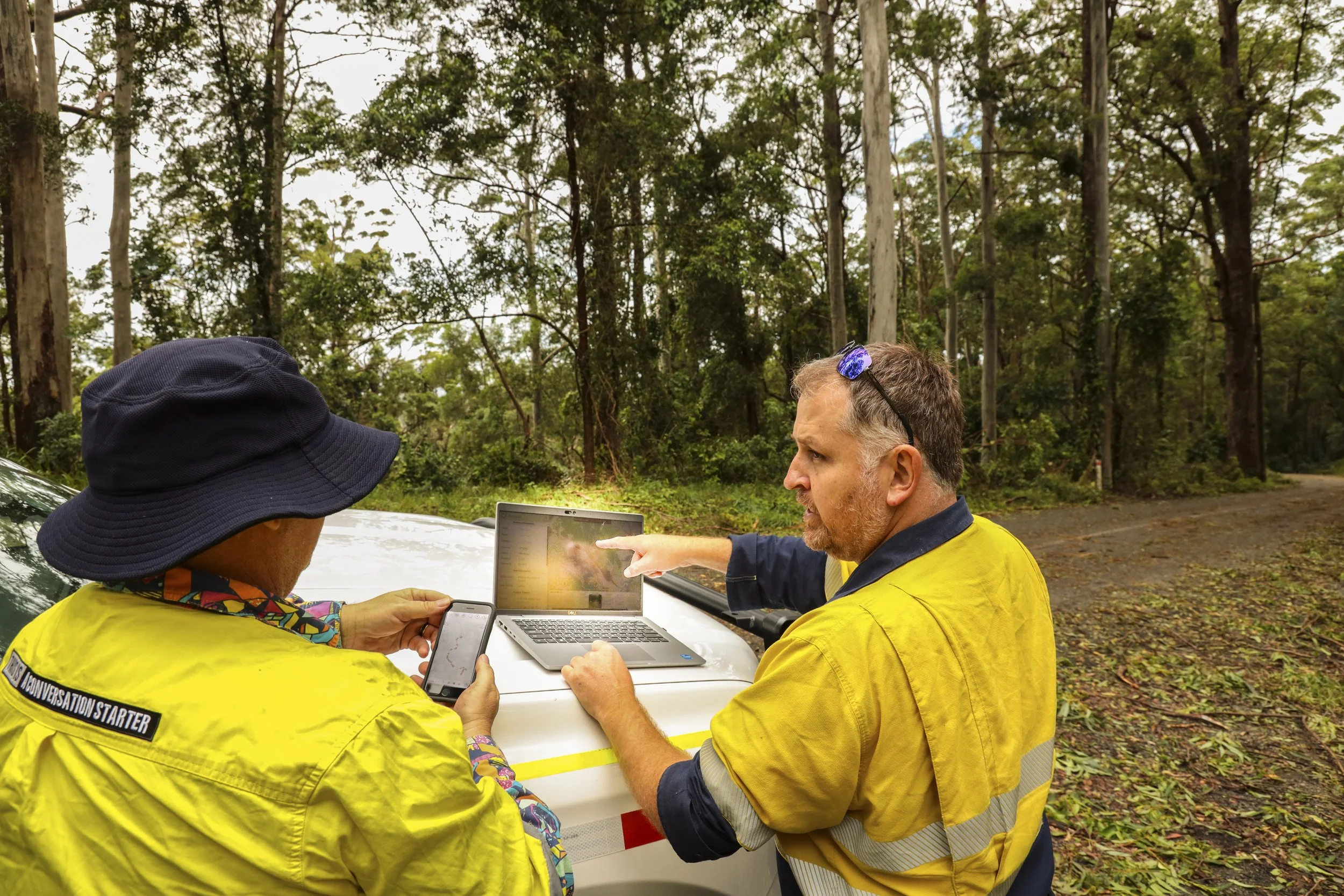
City of Moreton Bay personnel using FireMapper in the field🔥 City of Moreton Bay Council, based in Queensland, Australia, manages a rapidly growing region including urban centres and rural areas and as a result, the Council aimed to enhance fire planning and response within their areas. In 2023, the Council purchased FireMapper to collect and manage accurate data for fire planning.
🌀 Following Ex-Tropical Cyclone Alfred in 2025, the Council deployed FireMapper to conduct a rapid damage assessment. Their Fire Management Coordinator, Adam Nicholas, adapted FireMapper’s mapping capability to document storm-related damage. The Local Disaster Coordination Centre (LDCC) further used FireMapper’s multi-user interface to monitor assessments in real time, assigning tasks based on priority and ensuring efficient deployment of resources.
Within the LDCC, real-time data sharing with agencies such as Queensland Police Service, Queensland Parks and Wildlife Service, and Energex allowed for a coordinated response, granting access to damage reports quickly, improving data sharing and streamlining recovery operations. FireMapper’s archiving capabilities also provided comprehensive long-term records of the event for future planning and analysis.
“During the recent flood event, I asked my staff to utilise FireMapper for rapid damage assessment imagery and geo data in the region whilst I was working in the Local Disaster Coordination Centre. FireMapper allowed the Council and QPS to see fast proof of impact, which altered strategic decisions and messaging.”
— Adam Nicholas, the Council's Principal Fire Management OfficerHelping Manitoba Wildfire Operations team in wildfire firefighting
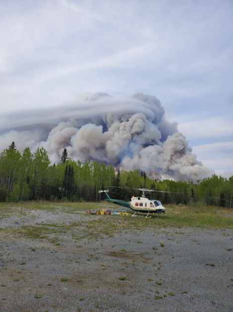
Fire near Cross Lake, Manitoba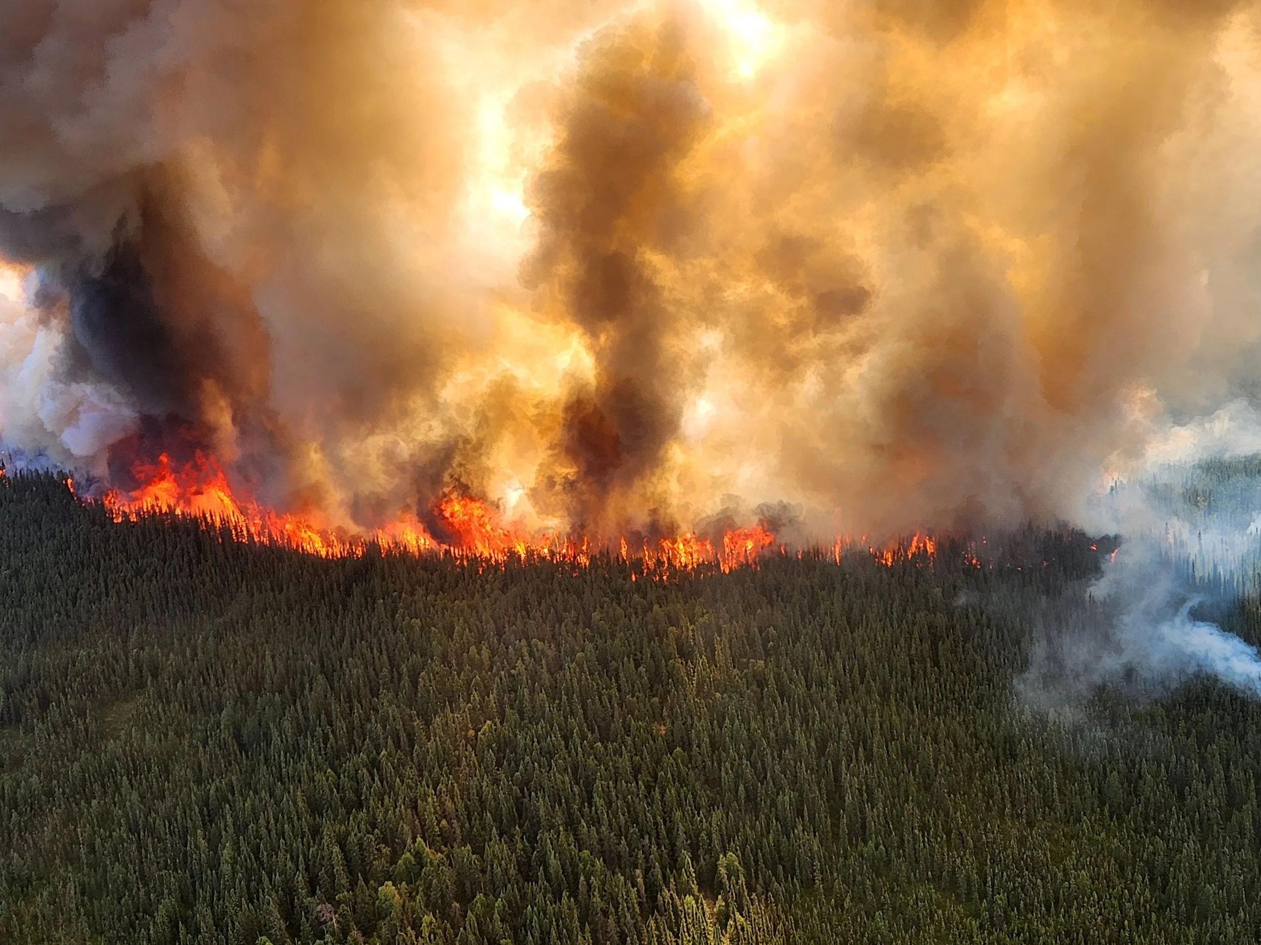
Wildfire burning in Manitoba’s Boreal ForestThe Manitoba Wildfire Service is responsible for the prevention, detection, and suppression of wildfires in the Province of Manitoba, Canada.
🚒 Throughout the spring and summer of 2025, Manitoba experienced one of its most severe wildfire seasons where hundreds of personnel from other Canadian jurisdictions, plus Australia, New Zealand, Mexico, Costa Rica, France and the USA were deployed to support response operations.
Before FireMapper, crews were juggling various mapping platforms and handover details, and experienced difficulties with tracking equipment spread across a vast area. That changed the moment FireMapper hit the ground.
With the help from New South Wales (NSW) Rural Fire Service and Fire and Emergency New Zealand teams, the Manitoba Incident Management Teams were able to quickly learn how to use FireMapper, helping ensure crews could easily understand what was happening on the fireground. FireMapper helped Manitoba respond efficiently and safely through:
🗺️ Using FireMapper, field staff could easily create, update and share maps adding critical information such as equipment locations, helicopter pads and escape routes. The location-sharing feature also helped IMT staff track personnel and heavy equipment more efficiently.
🔥 Live Fireline Progress: Rather than waiting for end-of-day GPX files and GIS processing, IMT field staff can update the out-of-control and controlled firelines directly into FireMapper allowing command staff to see progress, and maps could be printed anytime.
📍 Improved Situational Awareness: Division Supervisors updates can be visualized in real-time. Through uploading photos into FireMapper maps, crews could see a clearer picture of the fire behaviour. Shared maps drastically improved the ability to locate equipment, including deployed hose lines, sprinklers and pumps.
🚁 Streamlined heavy bucket missions: Crews can draw bucket water drop zones and share it for accurate navigation by aircraft.
🏠 Tracking Value Protection made easier: Instead of relying on long lists of coordinates, everything was plotted on the map, making it easier for the crew to monitor the status and service history.
“We began using FireMapper mid-season here in Manitoba and I have received tremendous positive feedback. It has made jobs more efficient, and feels natural and easy to use, even for those not technically inclined. It filled a void within the Manitoba Wildfire Service and with a few tweaks, we can make this even more of an already invaluable asset.”
— Government Spokesperson, Eastern Region Fire Technician and IMT member, Manitoba Wildfire Service