
Customer Stories
NSW National Parks and Wildlife Service
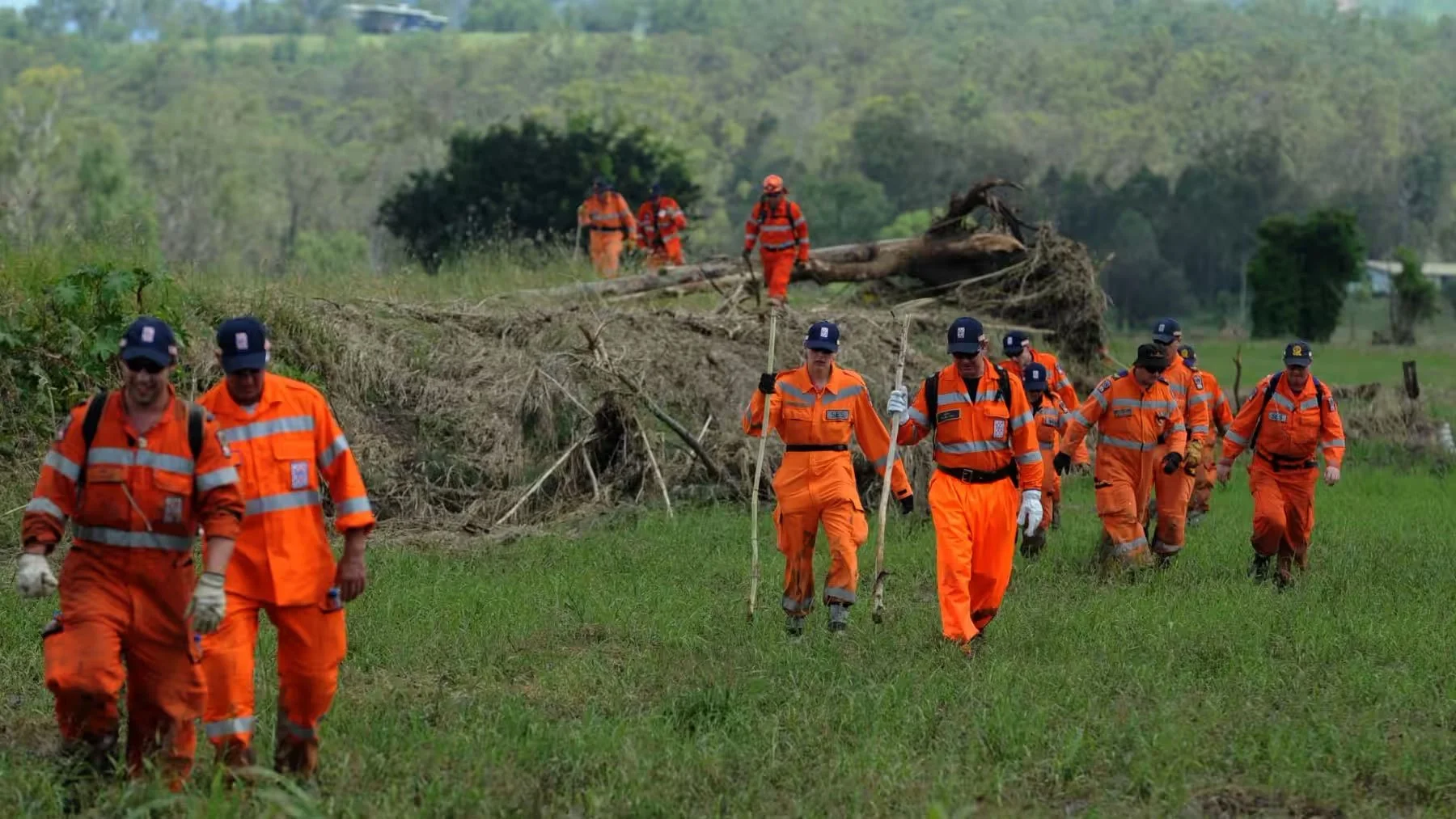
NSW National Parks and Wildlife Service is responsible for more than 9 per cent of the land area in NSW, and functions as one of the states 4 fire agencies. NPWS has a diverse workforce of over 1000 trained fire fighters, both from dedicated fire mitigation personnel and also casual personnel that work on HRs and bushfires as an extension to their day-to-day duties
NSW NPWS has used FireMapper since 2020 to plan, map and execute their hazard reduction and bushfire response across NSW, leveraging a state-wide FireMapper solution across 9 branches.
How has FireMapper changed the way NPWS plans and conducts hazard reductions?
FireMapper has improved the situation awareness of both crews and IMT during hazard reductions by sharing location information of crews and assets as well as providing photos, notes and other information to help improve SITREPs describing fire behaviour, hazards and other issues.
Each appliance and RAFT crew leader uses FireMapper and it is than able to share their live location on the map, helping IMT and sector leaders to track resources around the fire line.
FireMapper has also been an essential tool for initial attack on wildfires as it allows a quick map to be generated in the field that can be instantly shared with other users. As the fire progresses crews are able to update the map, sectorise and develop strategies all within a few minutes. This can then be shared amongst the other crews arriving on scene and also with IMT.
How is the capability FireMapper provides different to other solutions?
FireMapper is a significant improvement over all other mapping solutions previously used as it allows real-time sharing of location and mapping data. Knowing where other crews are located and being able to update fire progress improves the situational awareness of all firefighters.
FireMapper is particularly important for IMT as it can track crews and appliances on the ground, show fire behaviour and other issues through shared photos, and easily keep track of HR progress as it gets mapped in real-time. The FireMapper interface is very user friendly and intuitive and is easily managed, and can easily undo/redo additions or deletions to maps.
The ease of use and powerful functionality means it is readily accepted even by fire fighters that are not technically capable or familiar with GIS software.
About the NPWS deployment
FireMapper is deployed across NSW using a combination of Named User and Concurrent User licences, providing flexibility in how the app is used at HRs and bushfires. Concurrent Users ensure that FireMapper can be used by personnel even when they only attend fires once or twice per year, increasing licence utilisation and reducing wastage associated with unused licences.